Ebor Way West of Flint Mill Grange
Introduction
The photograph on this page of Ebor Way West of Flint Mill Grange by Chris Heaton as part of the Geograph project.
The Geograph project started in 2005 with the aim of publishing, organising and preserving representative images for every square kilometre of Great Britain, Ireland and the Isle of Man.

There are currently over 7.5m images from over 14,400 individuals and you can help contribute to the project by visiting https://www.geograph.org.uk
Ebor Way West of Flint Mill Grange
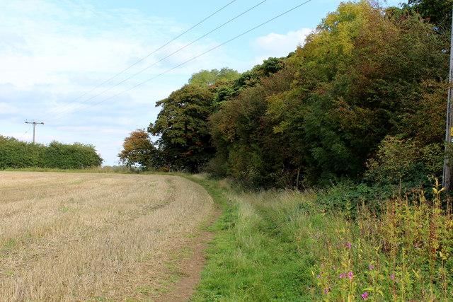
Image: © Chris Heaton Taken: 11 Oct 2015
The long distance footpath follows the field edge, rather than the route indicated on the definitive map
Images are licensed for reuse under creativecommons.org/licenses/by-sa/2.0
Image Location
Latitude
53.921136
Longitude
-1.36243