Fields east of Widham
Introduction
The photograph on this page of Fields east of Widham by Clint Mann as part of the Geograph project.
The Geograph project started in 2005 with the aim of publishing, organising and preserving representative images for every square kilometre of Great Britain, Ireland and the Isle of Man.

There are currently over 7.5m images from over 14,400 individuals and you can help contribute to the project by visiting https://www.geograph.org.uk
Fields east of Widham
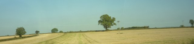
Image: © Clint Mann Taken: 2 Oct 2015
Cropped cornfields with a crossing line of telegraph poles and wires, viewed from the railway line en-route between Kemble and Swindon.
Images are licensed for reuse under creativecommons.org/licenses/by-sa/2.0
Image Location
Latitude
51.594636
Longitude
-1.861943