Duke Street
Introduction
The photograph on this page of Duke Street by Gerald England as part of the Geograph project.
The Geograph project started in 2005 with the aim of publishing, organising and preserving representative images for every square kilometre of Great Britain, Ireland and the Isle of Man.

There are currently over 7.5m images from over 14,400 individuals and you can help contribute to the project by visiting https://www.geograph.org.uk
Duke Street
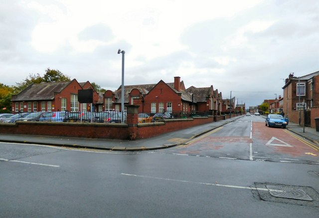
Image: © Gerald England Taken: 5 Oct 2015
On the left is what was Denton Council School. The buildings were converted to a military hospital during the First World War. During the Second World War it was used as a first aid station, run by the St John Ambulance Brigade. It is now Dental Central Primary School and ASD Resource Base, Manchester Image The main entrance is on Acre Street. A separate part of the school further down Duke Street was used as a Young People's Centre Image but that is now closed and for sale.
Images are licensed for reuse under creativecommons.org/licenses/by-sa/2.0
Image Location
Latitude
53.453591
Longitude
-2.115612