Bridleway off Teston Road
Introduction
The photograph on this page of Bridleway off Teston Road by Marathon as part of the Geograph project.
The Geograph project started in 2005 with the aim of publishing, organising and preserving representative images for every square kilometre of Great Britain, Ireland and the Isle of Man.

There are currently over 7.5m images from over 14,400 individuals and you can help contribute to the project by visiting https://www.geograph.org.uk
Bridleway off Teston Road
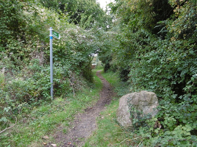
Image: © Marathon Taken: 13 Oct 2015
This is the view from Teston Road, just beyond St Leonard's Street which is the southern extension of West Malling. Teston Road must have once been a through route before the A228 (Ashton Way) cut across it to by-pass West Malling. The bridleway here veers off to also meet the A228.
Images are licensed for reuse under creativecommons.org/licenses/by-sa/2.0
Image Location
Latitude
51.282478
Longitude
0.40024