Pulling Up Area, Brighton Racecourse
Introduction
The photograph on this page of Pulling Up Area, Brighton Racecourse by Simon Carey as part of the Geograph project.
The Geograph project started in 2005 with the aim of publishing, organising and preserving representative images for every square kilometre of Great Britain, Ireland and the Isle of Man.

There are currently over 7.5m images from over 14,400 individuals and you can help contribute to the project by visiting https://www.geograph.org.uk
Pulling Up Area, Brighton Racecourse
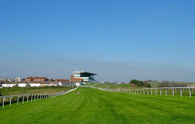
Image: © Simon Carey Taken: 11 Oct 2015
Added in 1952 and located to the south of Manor Hill which is closed on race days and turfed over. The course starts on the northern side of Red Hill and runs in a horseshoe shape around Whitehawk Bottom which contains the suburb of Whitehawk, crossing Wilson Avenue, which is also closed on race days and turfed over, before heading towards the grandstand where the finishing post is located. To the left of the stand are the stables.
Images are licensed for reuse under creativecommons.org/licenses/by-sa/2.0
Image Location
Latitude
50.826759
Longitude
-0.113538