South Clifton to Cottam Power Station: aerial 2015
Introduction
The photograph on this page of South Clifton to Cottam Power Station: aerial 2015 by Chris as part of the Geograph project.
The Geograph project started in 2005 with the aim of publishing, organising and preserving representative images for every square kilometre of Great Britain, Ireland and the Isle of Man.

There are currently over 7.5m images from over 14,400 individuals and you can help contribute to the project by visiting https://www.geograph.org.uk
South Clifton to Cottam Power Station: aerial 2015
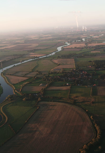
Image: © Chris Taken: 2 Oct 2015
October evening, looking northwards up the Trent along the line of power stations, light wind from the east. See also Image
Images are licensed for reuse under creativecommons.org/licenses/by-sa/2.0
Image Location
Latitude
53.225194
Longitude
-0.770054