Kimberley Road, Brighton
Introduction
The photograph on this page of Kimberley Road, Brighton by Simon Carey as part of the Geograph project.
The Geograph project started in 2005 with the aim of publishing, organising and preserving representative images for every square kilometre of Great Britain, Ireland and the Isle of Man.

There are currently over 7.5m images from over 14,400 individuals and you can help contribute to the project by visiting https://www.geograph.org.uk
Kimberley Road, Brighton
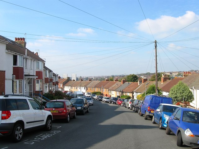
Image: © Simon Carey Taken: 11 Oct 2015
A residential road that runs in an arc off Ladysmith Road to the south. It was developed in the early 1910s and like many roads on the estate named after connections with the Boer War.
Images are licensed for reuse under creativecommons.org/licenses/by-sa/2.0
Image Location
Latitude
50.838625
Longitude
-0.118741