Path through Quarry Road Allotments, Ryde
Introduction
The photograph on this page of Path through Quarry Road Allotments, Ryde by Jaggery as part of the Geograph project.
The Geograph project started in 2005 with the aim of publishing, organising and preserving representative images for every square kilometre of Great Britain, Ireland and the Isle of Man.

There are currently over 7.5m images from over 14,400 individuals and you can help contribute to the project by visiting https://www.geograph.org.uk
Path through Quarry Road Allotments, Ryde
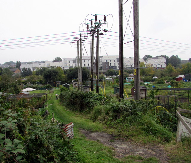
Image: © Jaggery Taken: 10 Oct 2015
Viewed from an entrance gate opposite Well Street. A notice on the gate shows ACCESS FOR ALLOTMENT HOLDERS ONLY.
Images are licensed for reuse under creativecommons.org/licenses/by-sa/2.0
Image Location
Latitude
50.723241
Longitude
-1.159151