Alton West Estate, Roehampton
Introduction
The photograph on this page of Alton West Estate, Roehampton by Jim Osley as part of the Geograph project.
The Geograph project started in 2005 with the aim of publishing, organising and preserving representative images for every square kilometre of Great Britain, Ireland and the Isle of Man.

There are currently over 7.5m images from over 14,400 individuals and you can help contribute to the project by visiting https://www.geograph.org.uk
Alton West Estate, Roehampton
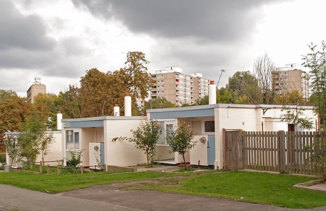
Image: © Jim Osley Taken: 10 Oct 2015
View of part of the 1950s Alton West Estate in Roehampton. In the foreground the bungalows of Minstead Gardens; in the background a series of point blocks.
Images are licensed for reuse under creativecommons.org/licenses/by-sa/2.0
Image Location
Latitude
51.45217
Longitude
-0.24907