Pipers Wharf, Greenwich - land side
Introduction
The photograph on this page of Pipers Wharf, Greenwich - land side by Stephen Craven as part of the Geograph project.
The Geograph project started in 2005 with the aim of publishing, organising and preserving representative images for every square kilometre of Great Britain, Ireland and the Isle of Man.

There are currently over 7.5m images from over 14,400 individuals and you can help contribute to the project by visiting https://www.geograph.org.uk
Pipers Wharf, Greenwich - land side
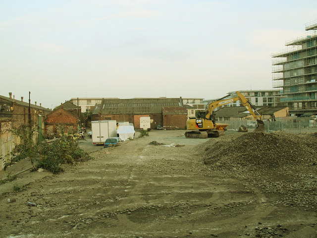
Image: © Stephen Craven Taken: 3 Oct 2015
A view through a hole in the hoarding along the narrow footpath Image that since the 2012 Olympics has been called Olympian Way. The site was until recently a barge building works, and had been since around 1900. It is fated to become the next phase of the riverside housing development, of which one phase can be seen to the right under construction.
Images are licensed for reuse under creativecommons.org/licenses/by-sa/2.0
Image Location
Latitude
51.488522
Longitude
0.00238