Flats on the site of the London & Brighton pub, Queen's Road
Introduction
The photograph on this page of Flats on the site of the London & Brighton pub, Queen's Road by Christopher Hilton as part of the Geograph project.
The Geograph project started in 2005 with the aim of publishing, organising and preserving representative images for every square kilometre of Great Britain, Ireland and the Isle of Man.

There are currently over 7.5m images from over 14,400 individuals and you can help contribute to the project by visiting https://www.geograph.org.uk
Flats on the site of the London & Brighton pub, Queen's Road
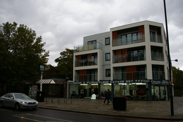
Image: © Christopher Hilton Taken: 7 Oct 2015
The London & Brighton pub which formerly stood on this corner can be seen in Image The sign still stands on the pavement, to the left of this image. The name is presumably derived from the London, Brighton & South Coast Railway, which ran the line through the adjacent Queen's Road Peckham station.
Images are licensed for reuse under creativecommons.org/licenses/by-sa/2.0
Image Location
Latitude
51.473534
Longitude
-0.058179