Three Ashes House Farm
Introduction
The photograph on this page of Three Ashes House Farm by Nigel Mykura as part of the Geograph project.
The Geograph project started in 2005 with the aim of publishing, organising and preserving representative images for every square kilometre of Great Britain, Ireland and the Isle of Man.

There are currently over 7.5m images from over 14,400 individuals and you can help contribute to the project by visiting https://www.geograph.org.uk
Three Ashes House Farm
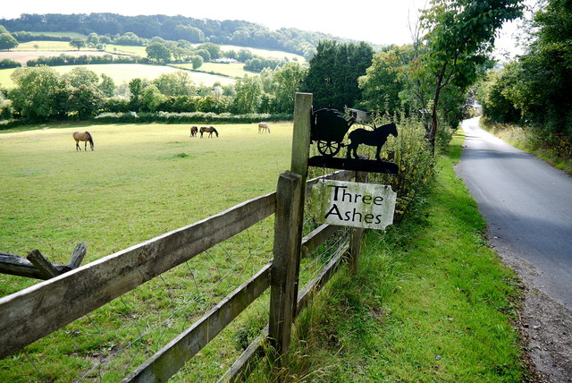
Image: © Nigel Mykura Taken: 7 Aug 2015
The farm sign shows a horse and cart. It is close to the entrance to Three Ashes which is not a working farm but has a large equestrian outdoor school and several horse paddocks such as this one. the road is the minor road along the valley of the River yarty towards Kilmington.
Images are licensed for reuse under creativecommons.org/licenses/by-sa/2.0
Image Location
Latitude
50.82034
Longitude
-3.053589