Former Track of Narrow Gauge Railway
Introduction
The photograph on this page of Former Track of Narrow Gauge Railway by Mick Garratt as part of the Geograph project.
The Geograph project started in 2005 with the aim of publishing, organising and preserving representative images for every square kilometre of Great Britain, Ireland and the Isle of Man.

There are currently over 7.5m images from over 14,400 individuals and you can help contribute to the project by visiting https://www.geograph.org.uk
Former Track of Narrow Gauge Railway
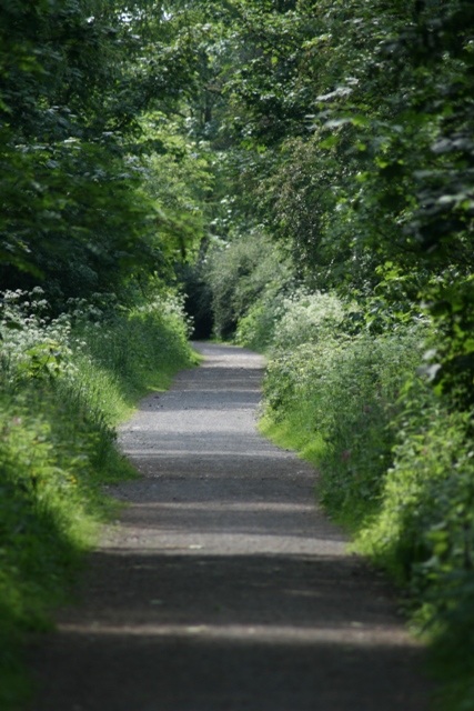
Image: © Mick Garratt Taken: 3 Jun 2007
Now a walkway through Errington Woods, a narrow gauge railway once ran along here servicing the East Winning of Upleatham Ironstone Mine with the top of the incline at Pontac Road. The mine was finally abandoned in 1923 and the trees in Errington Woods were planted by the miners themselves.
Images are licensed for reuse under creativecommons.org/licenses/by-sa/2.0
Image Location
Latitude
54.575305
Longitude
-1.032814