Township boundary post, near Celleron [north side]
Introduction
The photograph on this page of Township boundary post, near Celleron [north side] by Christine Johnstone as part of the Geograph project.
The Geograph project started in 2005 with the aim of publishing, organising and preserving representative images for every square kilometre of Great Britain, Ireland and the Isle of Man.

There are currently over 7.5m images from over 14,400 individuals and you can help contribute to the project by visiting https://www.geograph.org.uk
Township boundary post, near Celleron [north side]
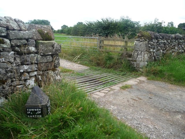
Image: © Christine Johnstone Taken: 26 Sep 2015
On this side 'Township of Barton'. On the other 'Township of Low Winder'. Matches Image Image
Images are licensed for reuse under creativecommons.org/licenses/by-sa/2.0
Image Location
Latitude
54.619584
Longitude
-2.784034