Lavender Street, Brighton
Introduction
The photograph on this page of Lavender Street, Brighton by Simon Carey as part of the Geograph project.
The Geograph project started in 2005 with the aim of publishing, organising and preserving representative images for every square kilometre of Great Britain, Ireland and the Isle of Man.

There are currently over 7.5m images from over 14,400 individuals and you can help contribute to the project by visiting https://www.geograph.org.uk
Lavender Street, Brighton
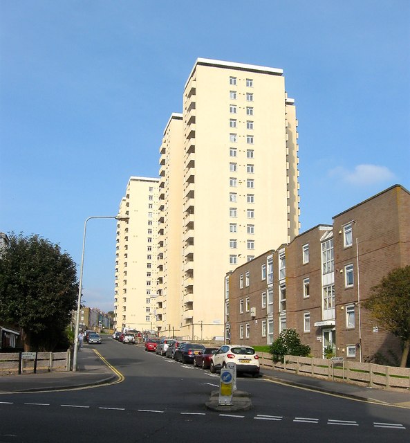
Image: © Simon Carey Taken: 4 Oct 2015
The road originally ran from Upper St James's Street to Eastern Road but since the 1960s now ends at the junction with Hereford Street. Originally developed in the 1810s the area soon became a notorious slum and began to be cleared in the late 1920s but was not completed until the 1960s. The former high density terraced housing was replaced with flats and five high rises, two of which, Wiltshire House and Hereford Court, are in view.
Images are licensed for reuse under creativecommons.org/licenses/by-sa/2.0
Image Location
Latitude
50.820258
Longitude
-0.128708