View from the bypass
Introduction
The photograph on this page of View from the bypass by Alan Murray-Rust as part of the Geograph project.
The Geograph project started in 2005 with the aim of publishing, organising and preserving representative images for every square kilometre of Great Britain, Ireland and the Isle of Man.

There are currently over 7.5m images from over 14,400 individuals and you can help contribute to the project by visiting https://www.geograph.org.uk
View from the bypass
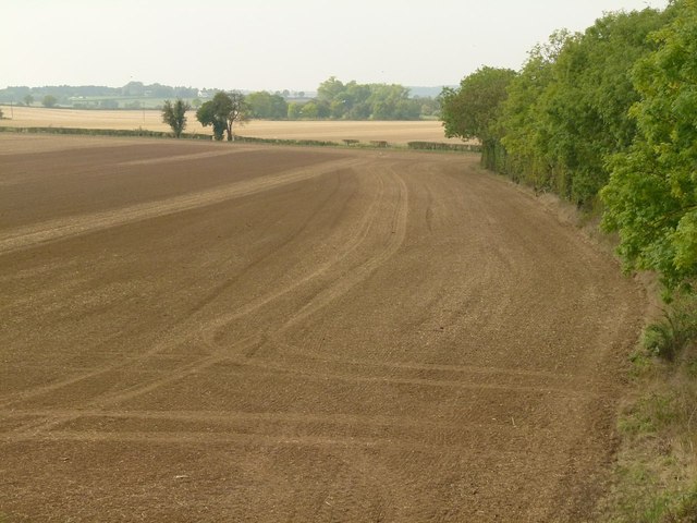
Image: © Alan Murray-Rust Taken: 4 Oct 2015
The field has been tilled and rolled ready for seeding. The trees to the right mark the course of the River Ryton.
Images are licensed for reuse under creativecommons.org/licenses/by-sa/2.0
Image Location
Latitude
53.308185
Longitude
-1.142125