Merton, 1997: Lower Morden, Cannon Hill Lane
Introduction
The photograph on this page of Merton, 1997: Lower Morden, Cannon Hill Lane by Ben Brooksbank as part of the Geograph project.
The Geograph project started in 2005 with the aim of publishing, organising and preserving representative images for every square kilometre of Great Britain, Ireland and the Isle of Man.

There are currently over 7.5m images from over 14,400 individuals and you can help contribute to the project by visiting https://www.geograph.org.uk
Merton, 1997: Lower Morden, Cannon Hill Lane
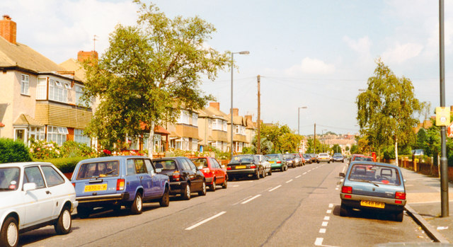
Image: © Ben Brooksbank Taken: 16 Aug 1997
View eastward towards Cannon Hill Common and Merton, by Queen Mary Avenue off to the left.
Images are licensed for reuse under creativecommons.org/licenses/by-sa/2.0
Image Location
Latitude
51.395141
Longitude
-0.22408