Path through the Goody Patchy, Tweedmouth
Introduction
The photograph on this page of Path through the Goody Patchy, Tweedmouth by Graham Robson as part of the Geograph project.
The Geograph project started in 2005 with the aim of publishing, organising and preserving representative images for every square kilometre of Great Britain, Ireland and the Isle of Man.

There are currently over 7.5m images from over 14,400 individuals and you can help contribute to the project by visiting https://www.geograph.org.uk
Path through the Goody Patchy, Tweedmouth
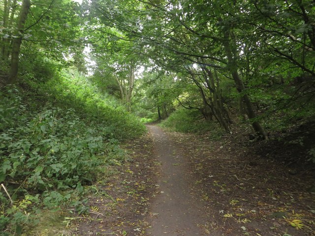
Image: © Graham Robson Taken: 3 Oct 2015
Looking along a footpath through the Goody Patchy Tweedmouth. The area is a mix of woodland and mown grass areas between the disused railway yard and Dock Road.
Images are licensed for reuse under creativecommons.org/licenses/by-sa/2.0
Image Location
Latitude
55.761982
Longitude
-2.006986