Public bridleway leading to Besigga
Introduction
The photograph on this page of Public bridleway leading to Besigga by Rod Allday as part of the Geograph project.
The Geograph project started in 2005 with the aim of publishing, organising and preserving representative images for every square kilometre of Great Britain, Ireland and the Isle of Man.

There are currently over 7.5m images from over 14,400 individuals and you can help contribute to the project by visiting https://www.geograph.org.uk
Public bridleway leading to Besigga
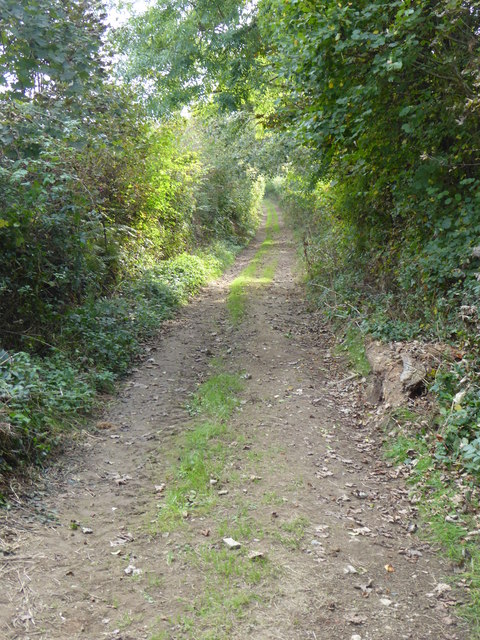
Image: © Rod Allday Taken: 1 Oct 2014
The name 'Besigga' doesn't appear on the OS map but that's what it says on the sign.
Images are licensed for reuse under creativecommons.org/licenses/by-sa/2.0
Image Location
Latitude
50.333581
Longitude
-4.961886