Canalside farmland south of Calf Heath
Introduction
The photograph on this page of Canalside farmland south of Calf Heath by Roger D Kidd as part of the Geograph project.
The Geograph project started in 2005 with the aim of publishing, organising and preserving representative images for every square kilometre of Great Britain, Ireland and the Isle of Man.

There are currently over 7.5m images from over 14,400 individuals and you can help contribute to the project by visiting https://www.geograph.org.uk
Canalside farmland south of Calf Heath
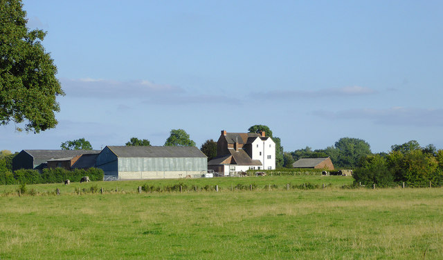
Image: © Roger D Kidd Taken: 27 Sep 2015
Lower Latherford Farm is viewed here from the Staffordshire and Worcestershire Canal.
Images are licensed for reuse under creativecommons.org/licenses/by-sa/2.0
Image Location
Latitude
52.66374
Longitude
-2.093699