Craigbarnet farm and the Napier Belt
Introduction
The photograph on this page of Craigbarnet farm and the Napier Belt by M J Richardson as part of the Geograph project.
The Geograph project started in 2005 with the aim of publishing, organising and preserving representative images for every square kilometre of Great Britain, Ireland and the Isle of Man.

There are currently over 7.5m images from over 14,400 individuals and you can help contribute to the project by visiting https://www.geograph.org.uk
Craigbarnet farm and the Napier Belt
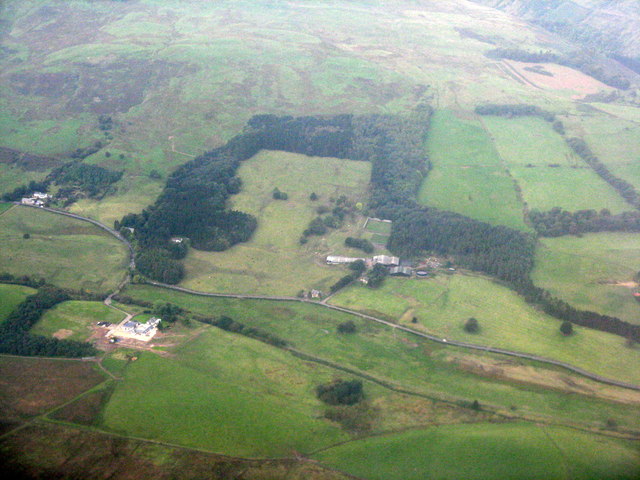
Image: © M J Richardson Taken: 3 Oct 2015
Fields, woodland and shelter belts on the south-facing slopes of the Campsie Fells. The road running along the foot is the A891 Lennoxtown-Strathblane.
Images are licensed for reuse under creativecommons.org/licenses/by-sa/2.0
Image Location
Latitude
55.983285
Longitude
-4.256727