Hen Ysgol Llannor - Former Llannor School
Introduction
The photograph on this page of Hen Ysgol Llannor - Former Llannor School by Alan Fryer as part of the Geograph project.
The Geograph project started in 2005 with the aim of publishing, organising and preserving representative images for every square kilometre of Great Britain, Ireland and the Isle of Man.

There are currently over 7.5m images from over 14,400 individuals and you can help contribute to the project by visiting https://www.geograph.org.uk
Hen Ysgol Llannor - Former Llannor School
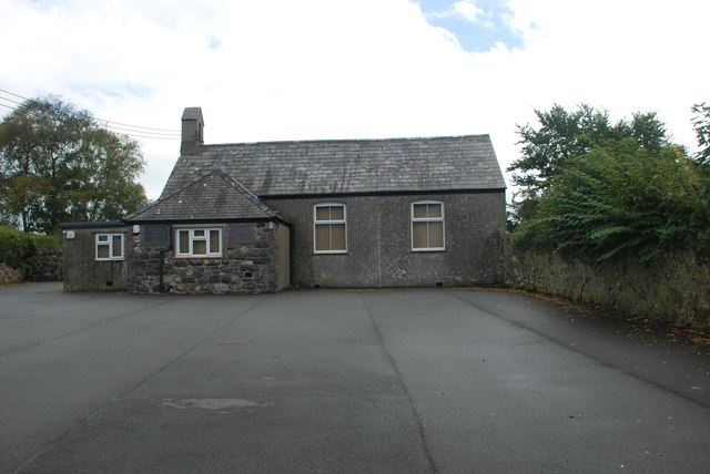
Image: © Alan Fryer Taken: 6 Oct 2015
Since Image was taken, the derelict school has been renovated with the help of National Lottery money and has reopened as the village community centre. https://www.facebook.com/CanolfanCymunedolLlannorCommunityCentre
Images are licensed for reuse under creativecommons.org/licenses/by-sa/2.0
Image Location
Latitude
52.907847
Longitude
-4.449193