London Loop, Purfleet
Introduction
The photograph on this page of London Loop, Purfleet by Des Blenkinsopp as part of the Geograph project.
The Geograph project started in 2005 with the aim of publishing, organising and preserving representative images for every square kilometre of Great Britain, Ireland and the Isle of Man.

There are currently over 7.5m images from over 14,400 individuals and you can help contribute to the project by visiting https://www.geograph.org.uk
London Loop, Purfleet
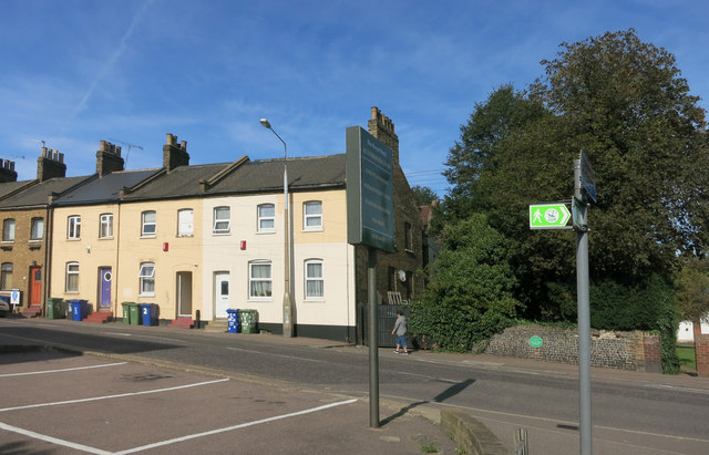
Image: © Des Blenkinsopp Taken: 29 Sep 2015
These little green footpath signs are friendly way markers all round the London Loop long distance path. Purfleet is the north bank end of the path and so this sign is the first or last you come to. It is over 150 miles to the other end at Erith just across the Thames on the south bank.
Images are licensed for reuse under creativecommons.org/licenses/by-sa/2.0
Image Location
Latitude
51.482948
Longitude
0.231432