Southover Street, Brighton
Introduction
The photograph on this page of Southover Street, Brighton by Simon Carey as part of the Geograph project.
The Geograph project started in 2005 with the aim of publishing, organising and preserving representative images for every square kilometre of Great Britain, Ireland and the Isle of Man.

There are currently over 7.5m images from over 14,400 individuals and you can help contribute to the project by visiting https://www.geograph.org.uk
Southover Street, Brighton
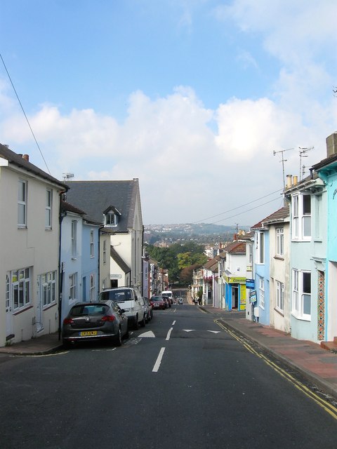
Image: © Simon Carey Taken: 4 Oct 2015
Looking down the hill from the junction with Jersey Street giving some idea of its steepness. The large roofed building on the left is Billam House which was originally a chapel then later became an annex for the Brighton College of Technology and is now flats. At the bottom of the street is The Level.
Images are licensed for reuse under creativecommons.org/licenses/by-sa/2.0
Image Location
Latitude
50.829282
Longitude
-0.130619