Road near Muir Cottage, Milden
Introduction
The photograph on this page of Road near Muir Cottage, Milden by Richard Webb as part of the Geograph project.
The Geograph project started in 2005 with the aim of publishing, organising and preserving representative images for every square kilometre of Great Britain, Ireland and the Isle of Man.

There are currently over 7.5m images from over 14,400 individuals and you can help contribute to the project by visiting https://www.geograph.org.uk
Road near Muir Cottage, Milden
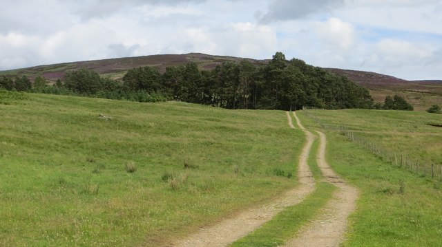
Image: © Richard Webb Taken: 22 Jul 2015
The road crosses over to the Burn of Turret and on to the moorland on the southern side of Mount Battock.
Images are licensed for reuse under creativecommons.org/licenses/by-sa/2.0
Image Location
Latitude
56.904174
Longitude
-2.758704