Roedale Road, Hollingdean, Brighton
Introduction
The photograph on this page of Roedale Road, Hollingdean, Brighton by Simon Carey as part of the Geograph project.
The Geograph project started in 2005 with the aim of publishing, organising and preserving representative images for every square kilometre of Great Britain, Ireland and the Isle of Man.

There are currently over 7.5m images from over 14,400 individuals and you can help contribute to the project by visiting https://www.geograph.org.uk
Roedale Road, Hollingdean, Brighton
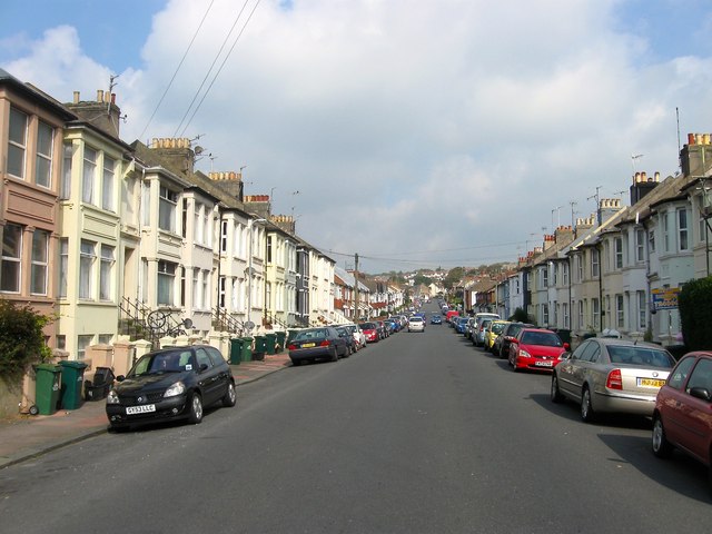
Image: © Simon Carey Taken: 4 Oct 2015
Running along the floor of the former Cowley's Bottom and developed from the late 1890s onwards. The road runs between Upper Hollingdean Road and Hollingbury Place.
Images are licensed for reuse under creativecommons.org/licenses/by-sa/2.0
Image Location
Latitude
50.842773
Longitude
-0.130648