A456 and milestone
Introduction
The photograph on this page of A456 and milestone by Richard Webb as part of the Geograph project.
The Geograph project started in 2005 with the aim of publishing, organising and preserving representative images for every square kilometre of Great Britain, Ireland and the Isle of Man.

There are currently over 7.5m images from over 14,400 individuals and you can help contribute to the project by visiting https://www.geograph.org.uk
A456 and milestone
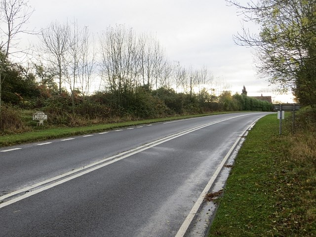
Image: © Richard Webb Taken: 24 Oct 2014
The road was straightened out around 1970, I expect the milestone was moved as well at the time.
Images are licensed for reuse under creativecommons.org/licenses/by-sa/2.0
Image Location
Latitude
52.327272
Longitude
-2.485938