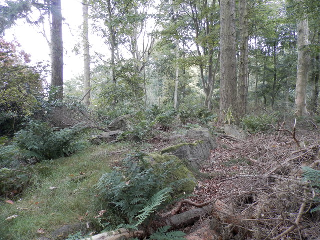
St Bride's Ring, Kingennie
Introduction
The photograph on this page of St Bride's Ring, Kingennie by Douglas Nelson as part of the Geograph project.
The Geograph project started in 2005 with the aim of publishing, organising and preserving representative images for every square kilometre of Great Britain, Ireland and the Isle of Man.
There are currently over 7.5m images from over 14,400 individuals and you can help contribute to the project by visiting https://www.geograph.org.uk

Image: © Douglas Nelson Taken: 4 Oct 2015
St Bride's Ring is now largely overgrown in a wooded hill near Kingennie. It measured roughly 60 feet in diameter. Many of the large rocks which formed the 7 foot high wall lie below. St Bride's ring has been classified as a broch by some authorities. It is similar to some of the ring forts of central Perthshire. See also http://www.monifiethhistorysociety.co.uk/2013/10/22/st-brides-ring/

