Carl Kammerling
Introduction
The photograph on this page of Carl Kammerling by Alan Fryer as part of the Geograph project.
The Geograph project started in 2005 with the aim of publishing, organising and preserving representative images for every square kilometre of Great Britain, Ireland and the Isle of Man.

There are currently over 7.5m images from over 14,400 individuals and you can help contribute to the project by visiting https://www.geograph.org.uk
Carl Kammerling
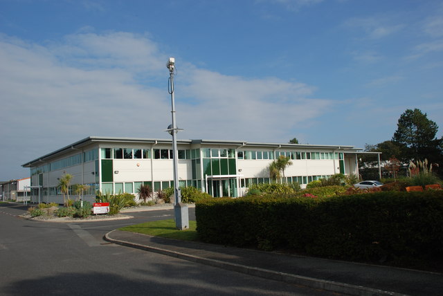
Image: © Alan Fryer Taken: 4 Oct 2015
On the Glandon Industrial Estate. For the history of the firm and the story of its post-war move from Germany see http://www.carlkammerling.com/about_us/who_are_carl_kammerling/company_history
Images are licensed for reuse under creativecommons.org/licenses/by-sa/2.0
Image Location
Latitude
52.890059
Longitude
-4.404482