View to the Gadloch
Introduction
The photograph on this page of View to the Gadloch by Robert Murray as part of the Geograph project.
The Geograph project started in 2005 with the aim of publishing, organising and preserving representative images for every square kilometre of Great Britain, Ireland and the Isle of Man.

There are currently over 7.5m images from over 14,400 individuals and you can help contribute to the project by visiting https://www.geograph.org.uk
View to the Gadloch
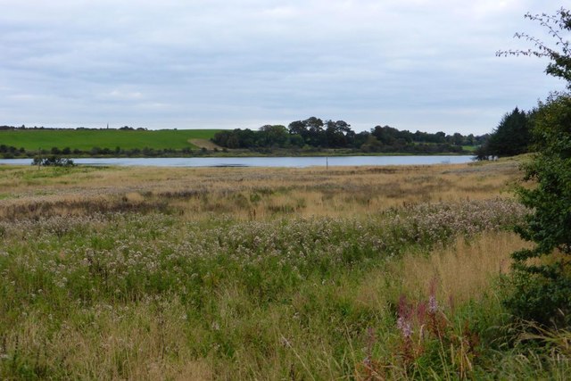
Image: © Robert Murray Taken: 3 Oct 2015
The existence of this sheet of water would seem to be due to coal mining and resultant subsidence as it doesn't appear on Ordnance maps as recent as 1914.
Images are licensed for reuse under creativecommons.org/licenses/by-sa/2.0
Image Location
Latitude
55.91192
Longitude
-4.172091