Statfold Wood
Introduction
The photograph on this page of Statfold Wood by Derek Harper as part of the Geograph project.
The Geograph project started in 2005 with the aim of publishing, organising and preserving representative images for every square kilometre of Great Britain, Ireland and the Isle of Man.

There are currently over 7.5m images from over 14,400 individuals and you can help contribute to the project by visiting https://www.geograph.org.uk
Statfold Wood
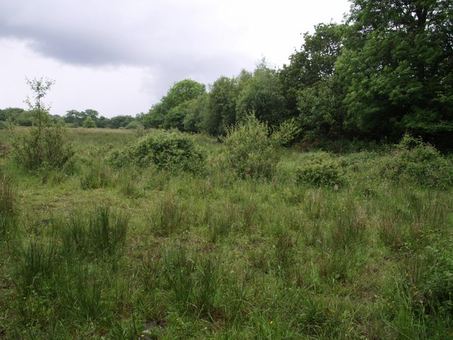
Image: © Derek Harper Taken: 15 Jun 2007
A Woodland Trust site described at https://www.woodlandtrust.org.uk/visiting-woods/woods/statfold-wood/ . This is the corner next to the River Claw (beside which the trees are growing) at Higher Claw Bridge, and is mentioned as "the richest area of the recolonised Culm (grassland species) at the lower extent of the site", and is therefore still in a grassland state.
Images are licensed for reuse under creativecommons.org/licenses/by-sa/2.0
Image Location


Leaflet Map data © OpenStreetMap
Latitude
50.798271
Longitude
-4.286822