Lane crossing Little Claw Moor
Introduction
The photograph on this page of Lane crossing Little Claw Moor by Derek Harper as part of the Geograph project.
The Geograph project started in 2005 with the aim of publishing, organising and preserving representative images for every square kilometre of Great Britain, Ireland and the Isle of Man.

There are currently over 7.5m images from over 14,400 individuals and you can help contribute to the project by visiting https://www.geograph.org.uk
Lane crossing Little Claw Moor
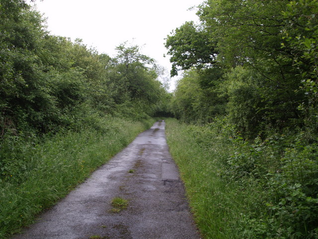
Image: © Derek Harper Taken: 15 Jun 2007
The lane shown in Image crosses flat land approaching Higher Claw Bridge. This is poor agricultural land and woodland, much for conservation and recreational use, is the major land use.
Images are licensed for reuse under creativecommons.org/licenses/by-sa/2.0
Image Location
Latitude
50.795226
Longitude
-4.281565