Orchard Drive, How Wood
Introduction
The photograph on this page of Orchard Drive, How Wood by Malc McDonald as part of the Geograph project.
The Geograph project started in 2005 with the aim of publishing, organising and preserving representative images for every square kilometre of Great Britain, Ireland and the Isle of Man.

There are currently over 7.5m images from over 14,400 individuals and you can help contribute to the project by visiting https://www.geograph.org.uk
Orchard Drive, How Wood
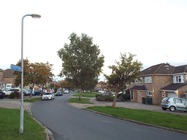
Image: © Malc McDonald Taken: 26 Sep 2015
Orchard Drove at How Wood, near St Albans. The sign attached to the lamp post indicates the route of National Cycle Network route 6.
Images are licensed for reuse under creativecommons.org/licenses/by-sa/2.0
Image Location
Latitude
51.724526
Longitude
-0.353385