The Walled Garden, Park Hall Road, Mansfield Woodhouse.
Introduction
The photograph on this page of The Walled Garden, Park Hall Road, Mansfield Woodhouse. by James Hill as part of the Geograph project.
The Geograph project started in 2005 with the aim of publishing, organising and preserving representative images for every square kilometre of Great Britain, Ireland and the Isle of Man.

There are currently over 7.5m images from over 14,400 individuals and you can help contribute to the project by visiting https://www.geograph.org.uk
The Walled Garden, Park Hall Road, Mansfield Woodhouse.
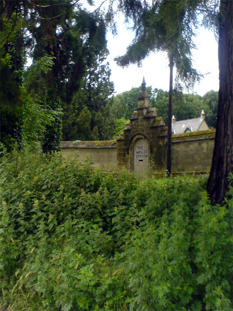
Image: © James Hill Taken: 16 Jun 2007
A garden, with stone built walls. A walled garden, if you will.
Images are licensed for reuse under creativecommons.org/licenses/by-sa/2.0
Image Location
Latitude
53.180944
Longitude
-1.186862