Jamaica Road, SE16 (1)
Introduction
The photograph on this page of Jamaica Road, SE16 (1) by Danny P Robinson as part of the Geograph project.
The Geograph project started in 2005 with the aim of publishing, organising and preserving representative images for every square kilometre of Great Britain, Ireland and the Isle of Man.

There are currently over 7.5m images from over 14,400 individuals and you can help contribute to the project by visiting https://www.geograph.org.uk
Jamaica Road, SE16 (1)
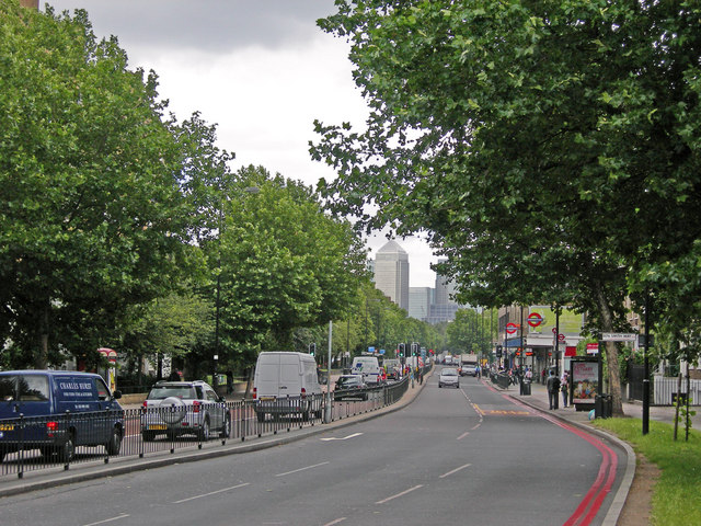
Image: © Danny P Robinson Taken: 15 Jun 2007
Photo taken at the junction of St James's Road, looking towards Rotherhithe. Canary Wharf is in the background. Bermondsey Underground Station is on the right.
Images are licensed for reuse under creativecommons.org/licenses/by-sa/2.0
Image Location
Latitude
51.497595
Longitude
-0.066665