Sarn Helen south of Ffarmers
Introduction
The photograph on this page of Sarn Helen south of Ffarmers by Philip Halling as part of the Geograph project.
The Geograph project started in 2005 with the aim of publishing, organising and preserving representative images for every square kilometre of Great Britain, Ireland and the Isle of Man.

There are currently over 7.5m images from over 14,400 individuals and you can help contribute to the project by visiting https://www.geograph.org.uk
Sarn Helen south of Ffarmers
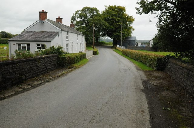
Image: © Philip Halling Taken: 20 Sep 2015
Sarn Helen is an old Roman Road here it is pictured crossing a stream to the south of the village of Ffarmers.
Images are licensed for reuse under creativecommons.org/licenses/by-sa/2.0
Image Location
Latitude
52.072739
Longitude
-3.970687