Path on the route of Boggard Lane
Introduction
The photograph on this page of Path on the route of Boggard Lane by Stephen Craven as part of the Geograph project.
The Geograph project started in 2005 with the aim of publishing, organising and preserving representative images for every square kilometre of Great Britain, Ireland and the Isle of Man.

There are currently over 7.5m images from over 14,400 individuals and you can help contribute to the project by visiting https://www.geograph.org.uk
Path on the route of Boggard Lane
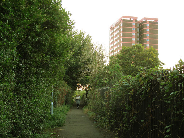
Image: © Stephen Craven Taken: 30 Sep 2015
This urban footpath is a right of way, and follows the route of an old road called Boggard Lane. The route of most of the lane has been obliterated by the post-war Gamble Hill estate, and at the northern end it has been diverted around the edge of the bus depot Image, but this stretch is on the old road alignment. See also Image
Images are licensed for reuse under creativecommons.org/licenses/by-sa/2.0
Image Location
Latitude
53.801526
Longitude
-1.622208