Honiton Cross
Introduction
The photograph on this page of Honiton Cross by Derek Harper as part of the Geograph project.
The Geograph project started in 2005 with the aim of publishing, organising and preserving representative images for every square kilometre of Great Britain, Ireland and the Isle of Man.

There are currently over 7.5m images from over 14,400 individuals and you can help contribute to the project by visiting https://www.geograph.org.uk
Honiton Cross
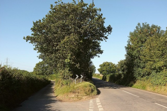
Image: © Derek Harper Taken: 26 Sep 2015
A fork on the B3226 (right), named after Honiton Barton, a C17 farmhouse off the lane to the left.
Images are licensed for reuse under creativecommons.org/licenses/by-sa/2.0
Image Location


Leaflet Map data © OpenStreetMap
Latitude
51.008835
Longitude
-3.854679