The Ravine Ground, Garndiffaith
Introduction
The photograph on this page of The Ravine Ground, Garndiffaith by Jaggery as part of the Geograph project.
The Geograph project started in 2005 with the aim of publishing, organising and preserving representative images for every square kilometre of Great Britain, Ireland and the Isle of Man.

There are currently over 7.5m images from over 14,400 individuals and you can help contribute to the project by visiting https://www.geograph.org.uk
The Ravine Ground, Garndiffaith
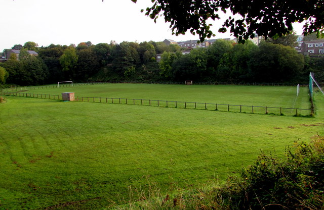
Image: © Jaggery Taken: 29 Sep 2015
The home ground of Fairfield United football club is set below the B4246, on land near a stream, Nant Ffrwd. Access to the ground is from here. http://www.geograph.org.uk/photo/4678661
Images are licensed for reuse under creativecommons.org/licenses/by-sa/2.0
Image Location
Latitude
51.736385
Longitude
-3.07172