Kingston Hill and Kingston Wood
Introduction
The photograph on this page of Kingston Hill and Kingston Wood by David Hawgood as part of the Geograph project.
The Geograph project started in 2005 with the aim of publishing, organising and preserving representative images for every square kilometre of Great Britain, Ireland and the Isle of Man.

There are currently over 7.5m images from over 14,400 individuals and you can help contribute to the project by visiting https://www.geograph.org.uk
Kingston Hill and Kingston Wood
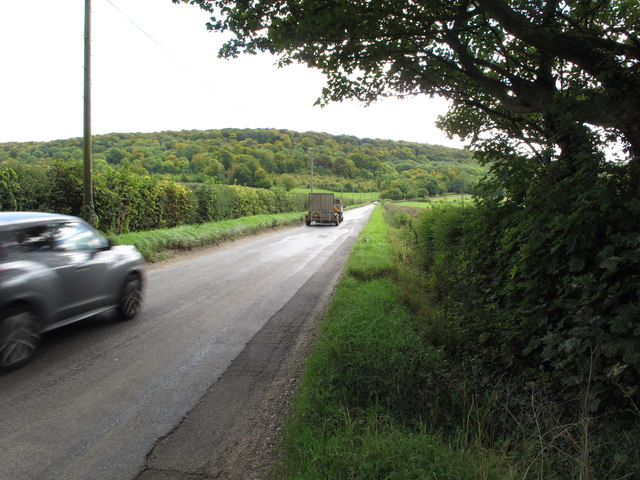
Image: © David Hawgood Taken: 25 Sep 2015
The road climbs Kingston Hill towards Stokenchurch. Photo from junction with the Ridgeway - which here is along the Icknield Way, not on the wooded scarp.
Images are licensed for reuse under creativecommons.org/licenses/by-sa/2.0
Image Location
Latitude
51.681091
Longitude
-0.928189