Footpath near Upper Halliford
Introduction
The photograph on this page of Footpath near Upper Halliford by Alan Hunt as part of the Geograph project.
The Geograph project started in 2005 with the aim of publishing, organising and preserving representative images for every square kilometre of Great Britain, Ireland and the Isle of Man.

There are currently over 7.5m images from over 14,400 individuals and you can help contribute to the project by visiting https://www.geograph.org.uk
Footpath near Upper Halliford
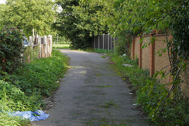
Image: © Alan Hunt Taken: 24 Sep 2015
The eastern end of the footpath from Charlton to the Upper Halliford Road. The Bugle Returnes public house is behind the fence on the left.
Images are licensed for reuse under creativecommons.org/licenses/by-sa/2.0
Image Location
Latitude
51.407016
Longitude
-0.432393