
Caister Beach
Introduction
The photograph on this page of Caister Beach by Richard Robinson as part of the Geograph project.
The Geograph project started in 2005 with the aim of publishing, organising and preserving representative images for every square kilometre of Great Britain, Ireland and the Isle of Man.

There are currently over 7.5m images from over 14,400 individuals and you can help contribute to the project by visiting https://www.geograph.org.uk
Caister Beach
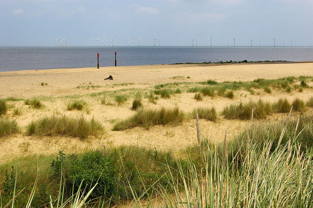
Image: © Richard Robinson Taken: 13 Jun 2007
View of Caister beach from the lower footpath. The windfarm on Scroby Sands in the North Sea spanning the photo’s horizon is at a distance of 2.5 kilometres from the coast. ‘Fact File’ (Each turbine tower is 60m high, weighs approximately 200 tonnes and has 40m long blades… the foundations are 4m diameter steel cylinders…) the source of information was taken from a Powergen hoarding. The photo’s vertical centre line taken from a compass is 114 degrees ESE of magnetic North.
Images are licensed for reuse under creativecommons.org/licenses/by-sa/2.0
Image Location

Latitude
52.661547
Longitude
1.729227