Ploughed fields and a belt of trees
Introduction
The photograph on this page of Ploughed fields and a belt of trees by Robin Webster as part of the Geograph project.
The Geograph project started in 2005 with the aim of publishing, organising and preserving representative images for every square kilometre of Great Britain, Ireland and the Isle of Man.

There are currently over 7.5m images from over 14,400 individuals and you can help contribute to the project by visiting https://www.geograph.org.uk
Ploughed fields and a belt of trees
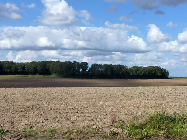
Image: © Robin Webster Taken: 26 Sep 2015
The trees are a tongue of woodland projecting from Gifford's Covert off to the left, and appear to act as a shelter belt for Enifer Downs Farm hidden just beyond.
Images are licensed for reuse under creativecommons.org/licenses/by-sa/2.0
Image Location


Leaflet Map data © OpenStreetMap
Latitude
51.163113
Longitude
1.326424