On Churchfield Lane
Introduction
The photograph on this page of On Churchfield Lane by John Sutton as part of the Geograph project.
The Geograph project started in 2005 with the aim of publishing, organising and preserving representative images for every square kilometre of Great Britain, Ireland and the Isle of Man.

There are currently over 7.5m images from over 14,400 individuals and you can help contribute to the project by visiting https://www.geograph.org.uk
On Churchfield Lane
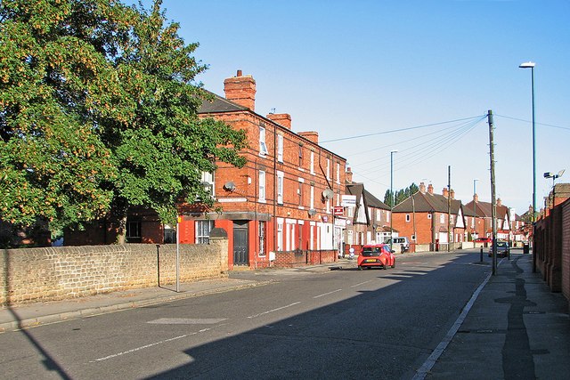
Image: © John Sutton Taken: 25 Sep 2015
St Peter's churchyard is to the left. This part of Churchfield Lane used to be shadowed at this time of the morning by the tall Player's tobacco factory on the right. Its site is now a retail park.
Images are licensed for reuse under creativecommons.org/licenses/by-sa/2.0
Image Location
Latitude
52.961467
Longitude
-1.179819