Stuart Way, Ashby de-la Zouch
Introduction
The photograph on this page of Stuart Way, Ashby de-la Zouch by Oliver Mills as part of the Geograph project.
The Geograph project started in 2005 with the aim of publishing, organising and preserving representative images for every square kilometre of Great Britain, Ireland and the Isle of Man.

There are currently over 7.5m images from over 14,400 individuals and you can help contribute to the project by visiting https://www.geograph.org.uk
Stuart Way, Ashby de-la Zouch
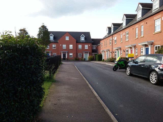
Image: © Oliver Mills Taken: 22 Sep 2015
The small group of modern houses, built around 2006, within the large, 1970s estate to the south of the Bath Grounds. There is a small playground to the left, past the hedge. Ashby de-la Zouch.
Images are licensed for reuse under creativecommons.org/licenses/by-sa/2.0
Image Location
Latitude
52.742436
Longitude
-1.473227