Path junction, LIVIA, Silverdale
Introduction
The photograph on this page of Path junction, LIVIA, Silverdale by Bradley Michael as part of the Geograph project.
The Geograph project started in 2005 with the aim of publishing, organising and preserving representative images for every square kilometre of Great Britain, Ireland and the Isle of Man.

There are currently over 7.5m images from over 14,400 individuals and you can help contribute to the project by visiting https://www.geograph.org.uk
Path junction, LIVIA, Silverdale
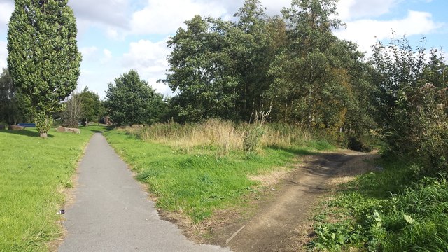
Image: © Bradley Michael Taken: 24 Sep 2015
Surprisingly there are very few images of this area as of time of uploading! It's quite a big area of woodland. LIVIA stands for Lower Irwell Valley Improvement Area.
Images are licensed for reuse under creativecommons.org/licenses/by-sa/2.0
Image Location
Latitude
53.517554
Longitude
-2.327831