Cow Watering Lane from the air
Introduction
The photograph on this page of Cow Watering Lane from the air by Thomas Nugent as part of the Geograph project.
The Geograph project started in 2005 with the aim of publishing, organising and preserving representative images for every square kilometre of Great Britain, Ireland and the Isle of Man.

There are currently over 7.5m images from over 14,400 individuals and you can help contribute to the project by visiting https://www.geograph.org.uk
Cow Watering Lane from the air
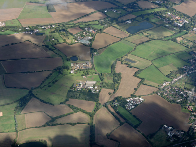
Image: © Thomas Nugent Taken: 14 Sep 2015
Writtle College Cow Watering campus and Sturgeons Farm are near the centre of the photo. The edge of Great Oxney Green is on the right, Writtle College main campus is top, right.
Images are licensed for reuse under creativecommons.org/licenses/by-sa/2.0
Image Location


Leaflet Map data © OpenStreetMap
Latitude
51.732014
Longitude
0.401974