Varteg Road, Blaenavon
Introduction
The photograph on this page of Varteg Road, Blaenavon by Jaggery as part of the Geograph project.
The Geograph project started in 2005 with the aim of publishing, organising and preserving representative images for every square kilometre of Great Britain, Ireland and the Isle of Man.

There are currently over 7.5m images from over 14,400 individuals and you can help contribute to the project by visiting https://www.geograph.org.uk
Varteg Road, Blaenavon
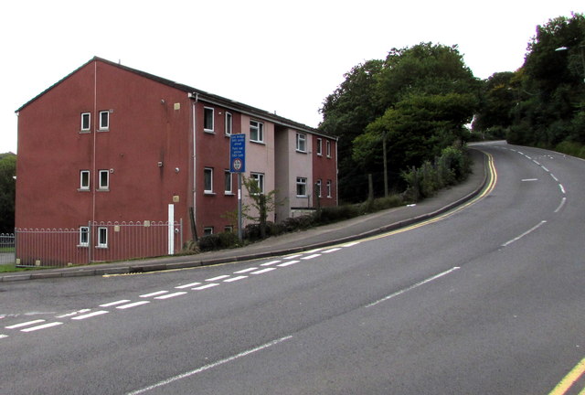
Image: © Jaggery Taken: 20 Sep 2015
The B4246 Varteg Road ascends past Riverside Drive houses. The dark blue sign shows a low bridge (headroom 4.19 metres/13' 9") 340 yards ahead. What is now Riverside Drive and the adjacent area was formerly the site of Blaenavon (Low Level) Station. http://www.geograph.org.uk/photo/1825303
Images are licensed for reuse under creativecommons.org/licenses/by-sa/2.0
Image Location
Latitude
51.770254
Longitude
-3.084696