Ordnance Survey 1GL Bolt
Introduction
The photograph on this page of Ordnance Survey 1GL Bolt by Adrian Dust as part of the Geograph project.
The Geograph project started in 2005 with the aim of publishing, organising and preserving representative images for every square kilometre of Great Britain, Ireland and the Isle of Man.

There are currently over 7.5m images from over 14,400 individuals and you can help contribute to the project by visiting https://www.geograph.org.uk
Ordnance Survey 1GL Bolt
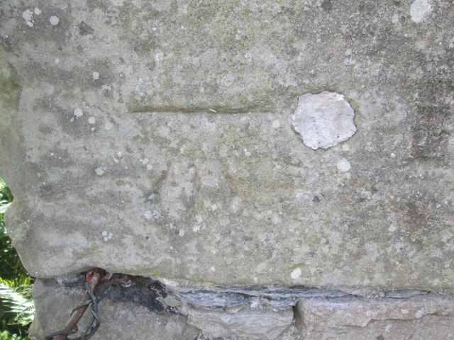
Image: © Adrian Dust Taken: 19 Sep 2015
This OS Bolt (covered and only cut mark showing) can be found on the old Cart House at the New Inn.
Images are licensed for reuse under creativecommons.org/licenses/by-sa/2.0
Image Location
Latitude
52.141845
Longitude
-4.430456