Bryn-mawr Summit
Introduction
The photograph on this page of Bryn-mawr Summit by Rude Health as part of the Geograph project.
The Geograph project started in 2005 with the aim of publishing, organising and preserving representative images for every square kilometre of Great Britain, Ireland and the Isle of Man.

There are currently over 7.5m images from over 14,400 individuals and you can help contribute to the project by visiting https://www.geograph.org.uk
Bryn-mawr Summit
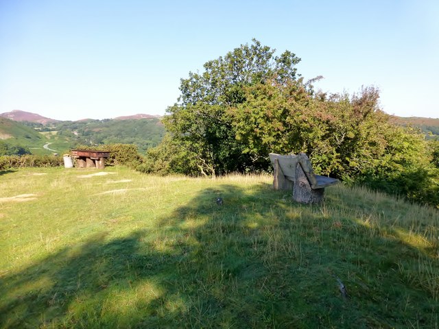
Image: © Rude Health Taken: 8 Sep 2015
Track from NW then through edge of farmyard to grassy top with bench and new large barbecue spot with a lovely view and the weather to match. Name: Bryn-mawr Hill number: 14790 Height:143m / 469ft Parent (Ma/M):2031 Tal y Fan Section:30B: Snowdonia Area:The Carneddau County/UA:Conwy (CoU) Class: Tump (100-199m) Grid ref:SH 76567 76676 Summit feature: outcrop Drop: 30m Col:113m SH762763
Images are licensed for reuse under creativecommons.org/licenses/by-sa/2.0
Image Location
Latitude
53.27266
Longitude
-3.852432